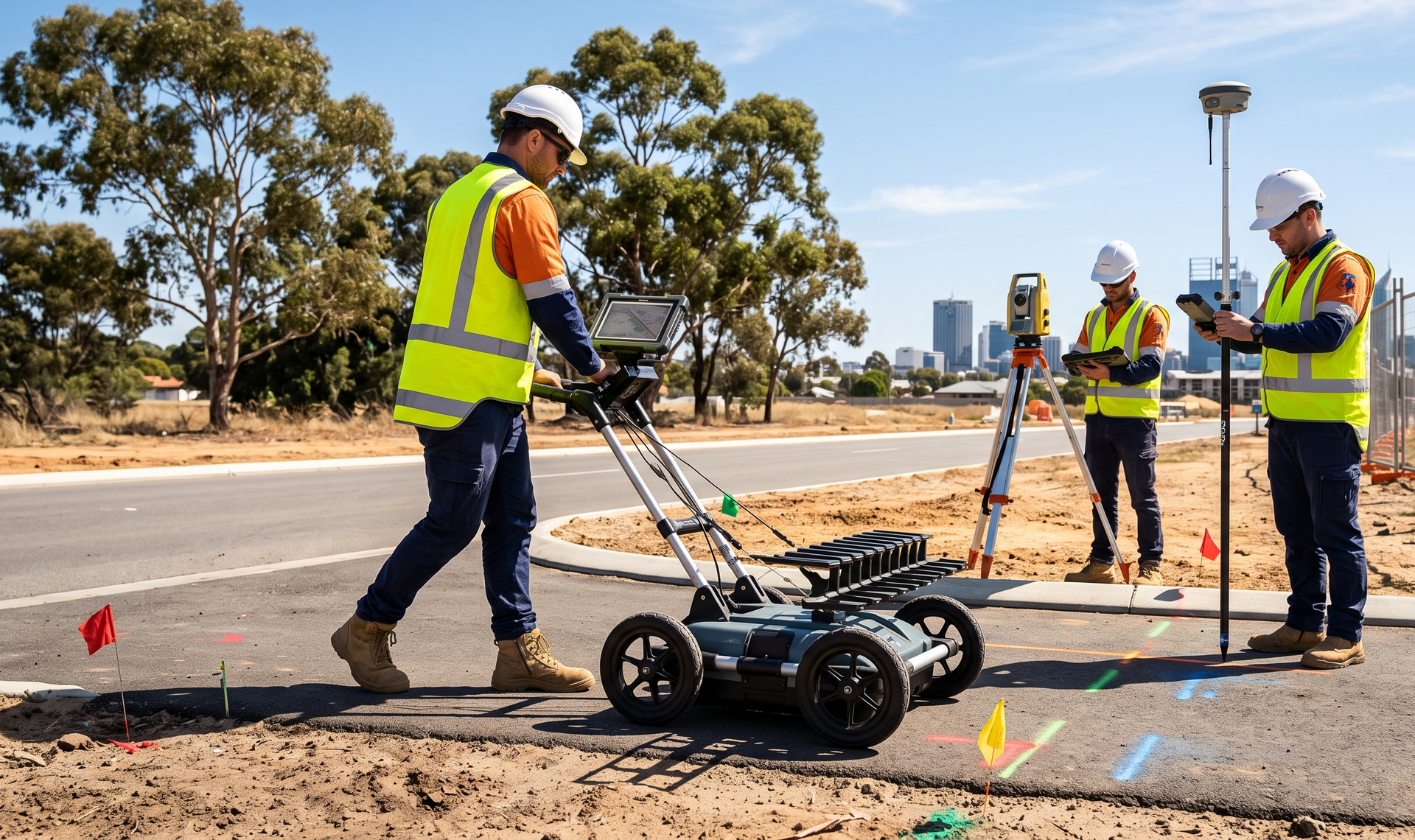
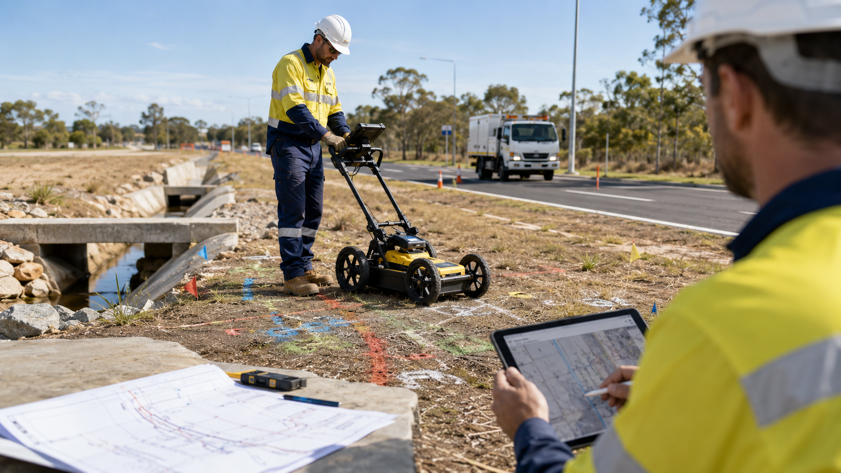
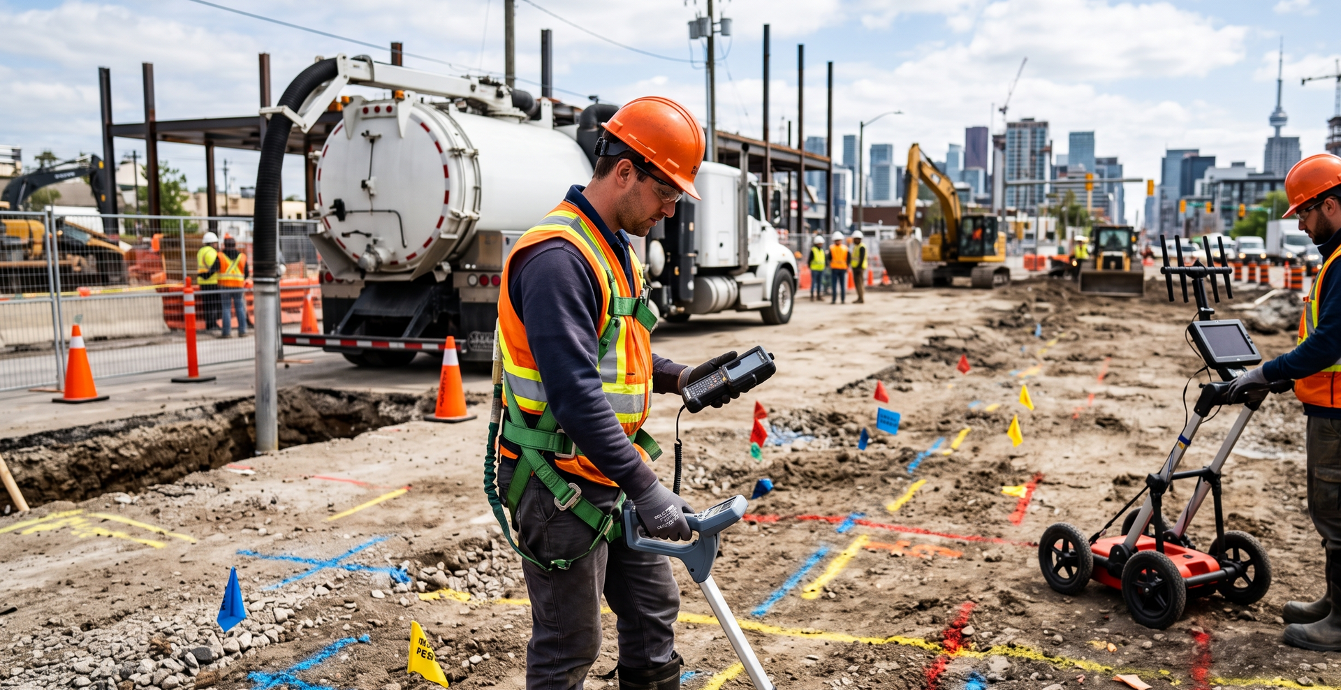
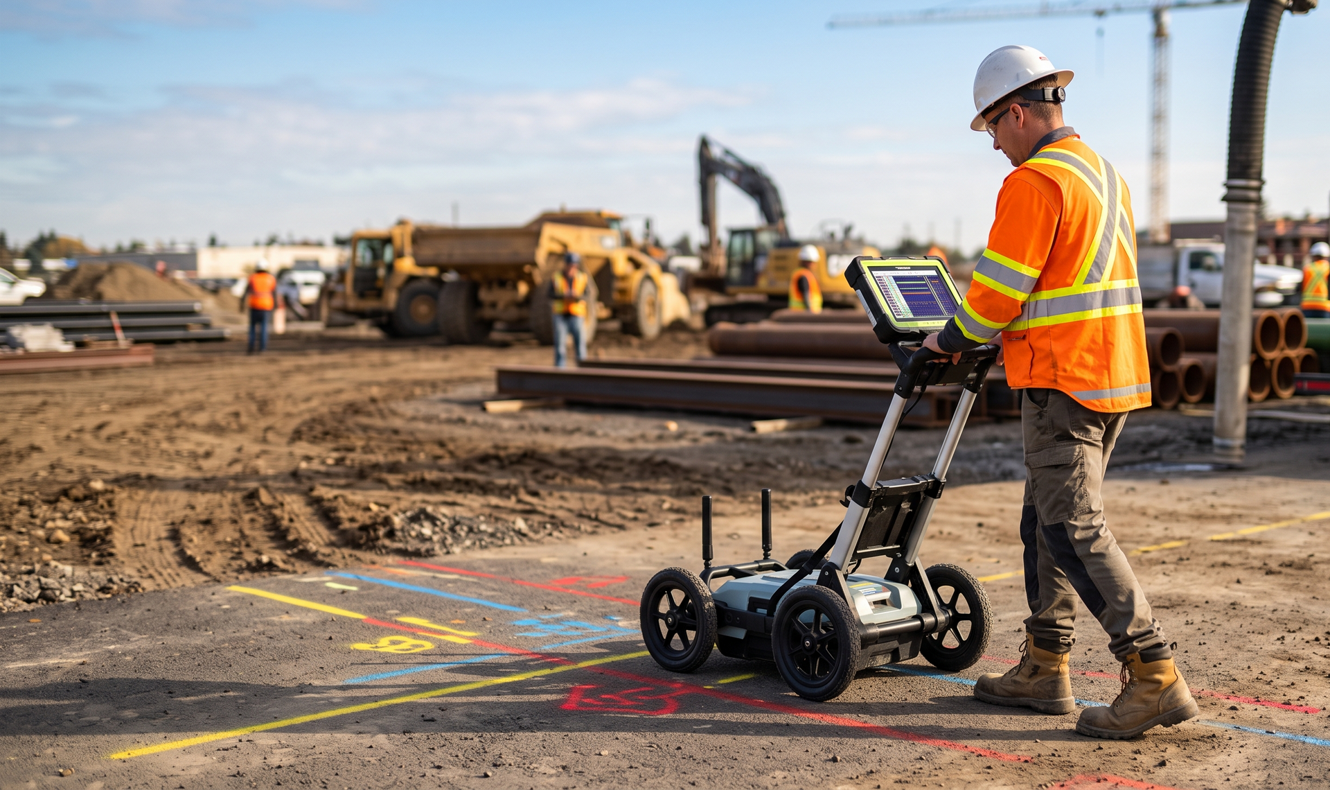
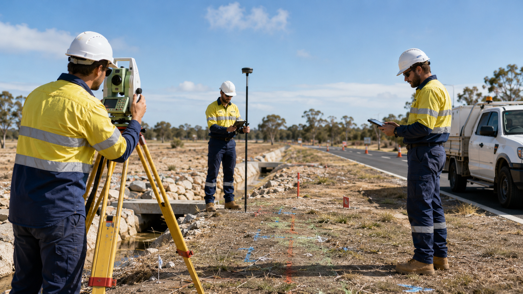
Ground penetrating radar scanning across Western Australia
WA Mapping uses ground penetrating radar scanning to investigate buried services and subsurface features where conventional locating methods may not provide enough information. GPR can support civil, infrastructure, mining, and development projects by adding another layer of site data before design, excavation, or verification work proceeds.
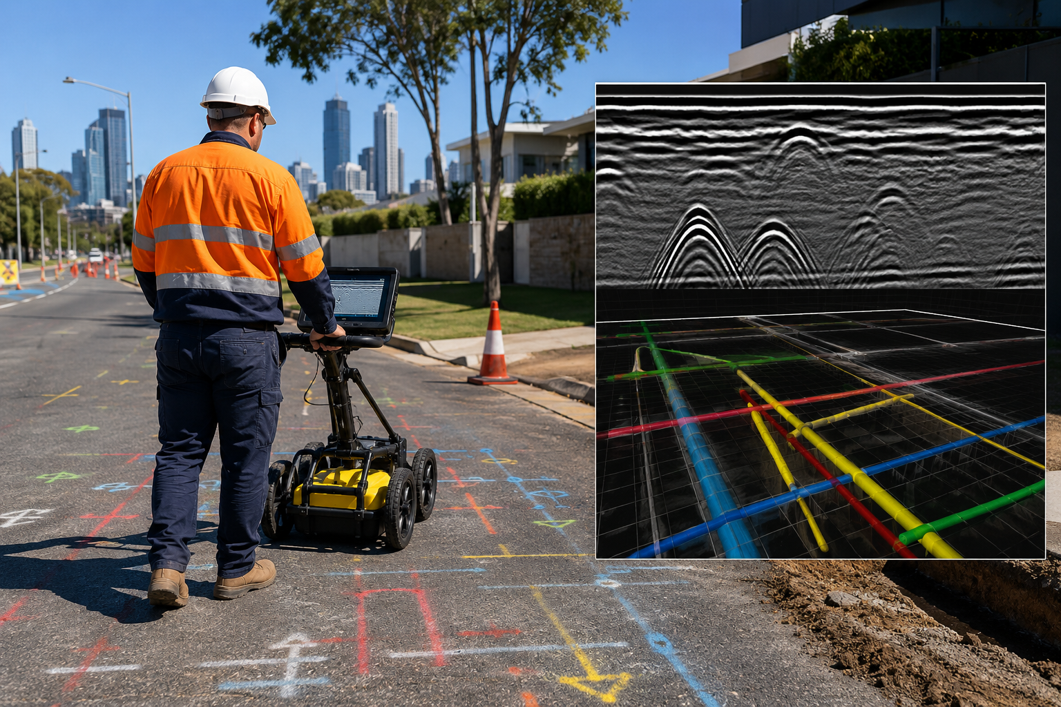
A practical tool for subsurface investigation
Ground penetrating radar sends signals into the ground and records reflections from changes below the surface. Results depend on ground conditions, depth, material, and site access, so our experienced locators assess each project before selecting the most appropriate scanning method and survey coverage.

Common applications
- Buried utility investigations
- Subsurface feature detection
- Pre-excavation planning
- Infrastructure design support
- Road and development projects
- Mining and industrial sites
Speak with an experienced locator about ground penetrating radar scanning across Perth and regional Western Australia.
Discuss your GPR requirements
GPR scanning across WA
WA Mapping services Rockingham, Perth, the Pilbara, Kalgoorlie and the Goldfields, the South West, and other regional areas.