Infrastructure design locating across Western Australia

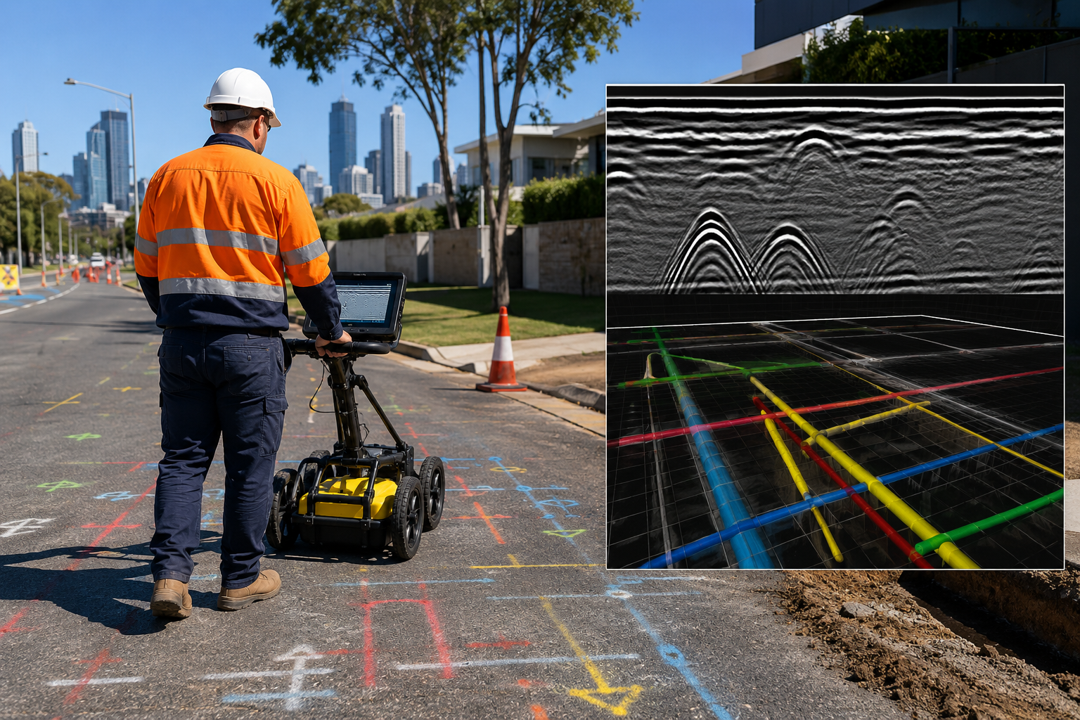
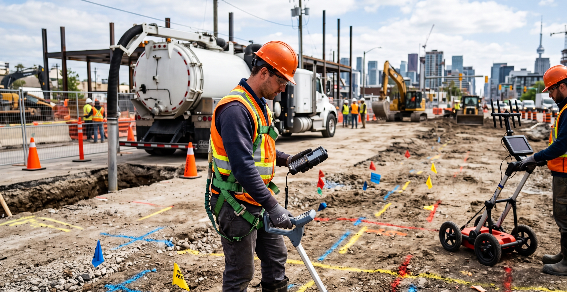
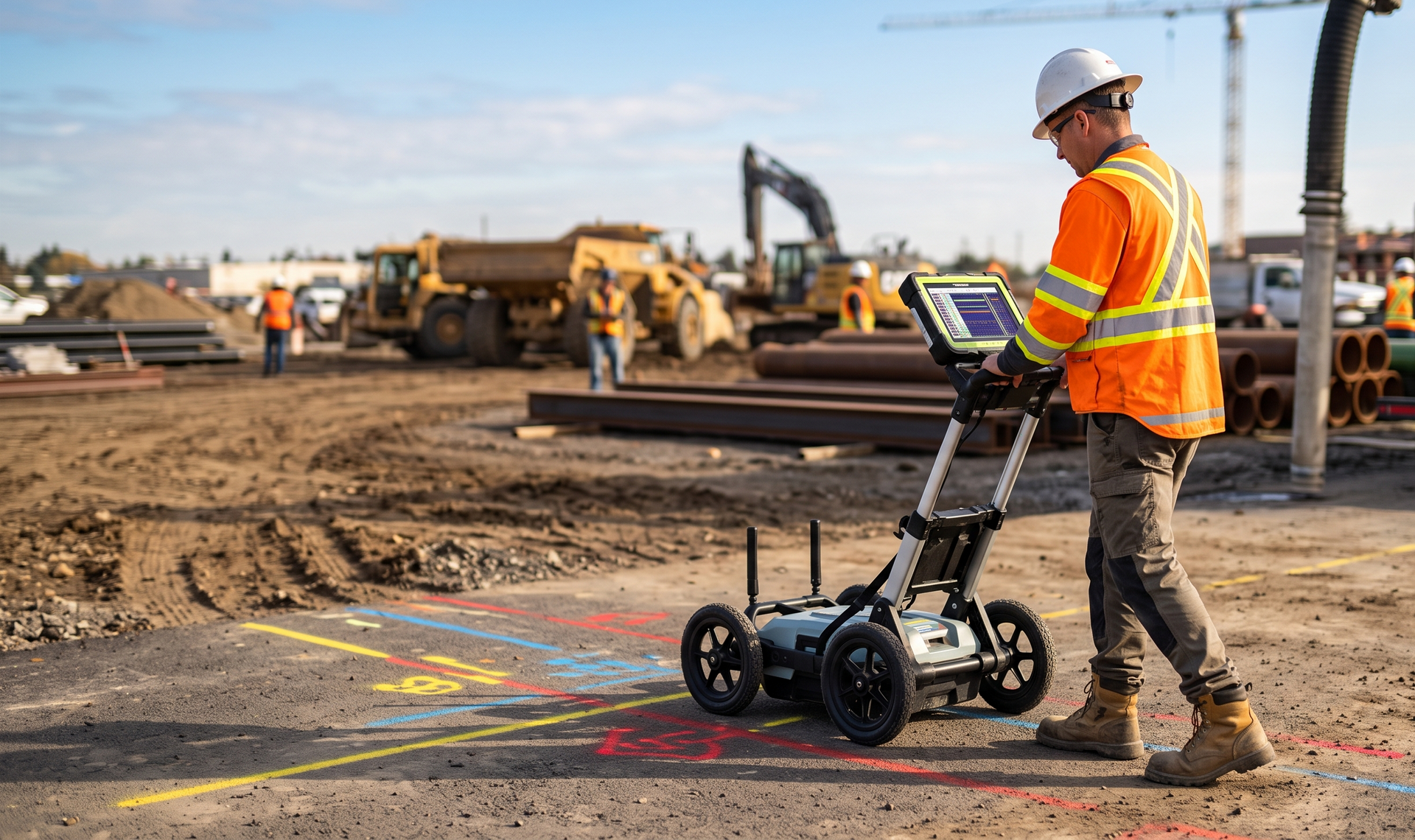
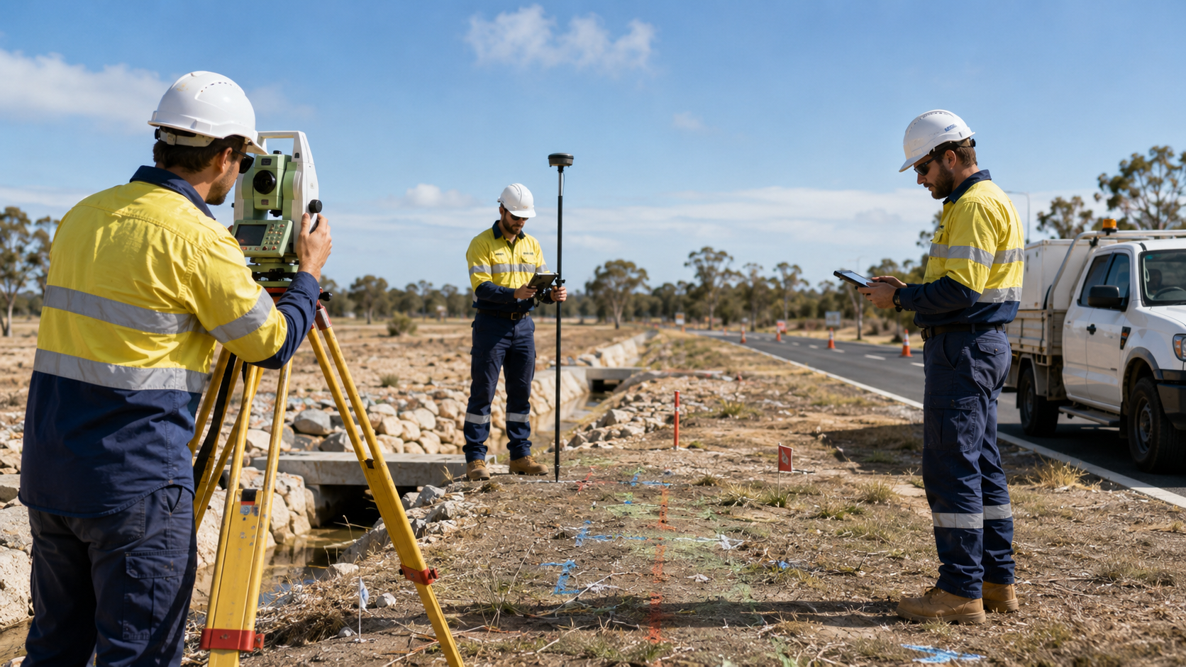
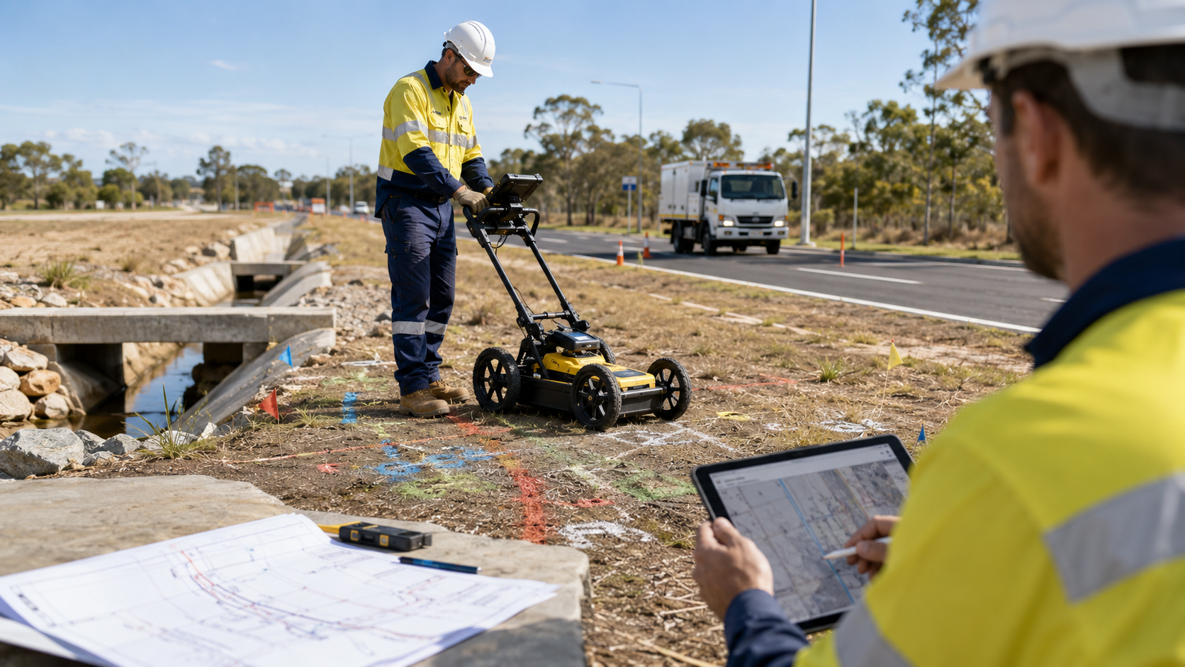
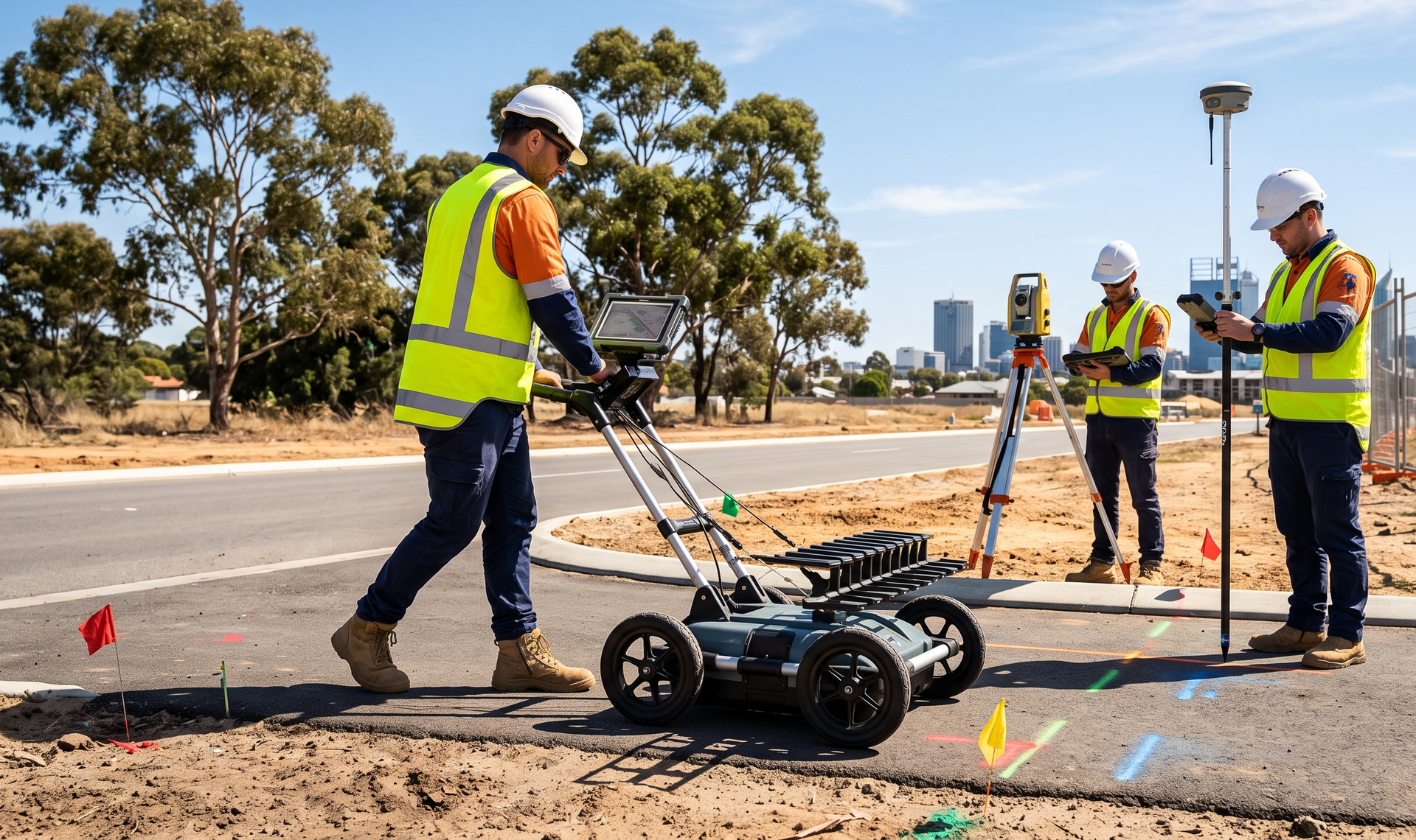
WA Mapping provides underground service locating for infrastructure design projects involving roads, water, power, gas, and local government assets. We work with design consultants, utility providers, councils, and project teams to gather practical site information that can support planning, investigation, and design decisions.
Field information for infrastructure design

Design work often depends on understanding existing underground conditions before alignments, upgrades, and construction methods are finalised. WA Mapping helps identify relevant services and site features so designers and asset stakeholders can make more informed decisions and reduce uncertainty during later project stages.

Infrastructure sectors

  • Main Roads and transport corridors
  • Water and wastewater infrastructure
  • Power and gas networks
  • Local government assets
  • Drainage and public realm projects
  • Utility upgrades and relocations

Discuss infrastructure design locating for metropolitan and regional projects across Western Australia.

Supporting services

Talk to an experienced locator

Metropolitan and regional coverage

The team supports infrastructure projects across Perth, the Pilbara, the Goldfields, the South West, and other WA regions.