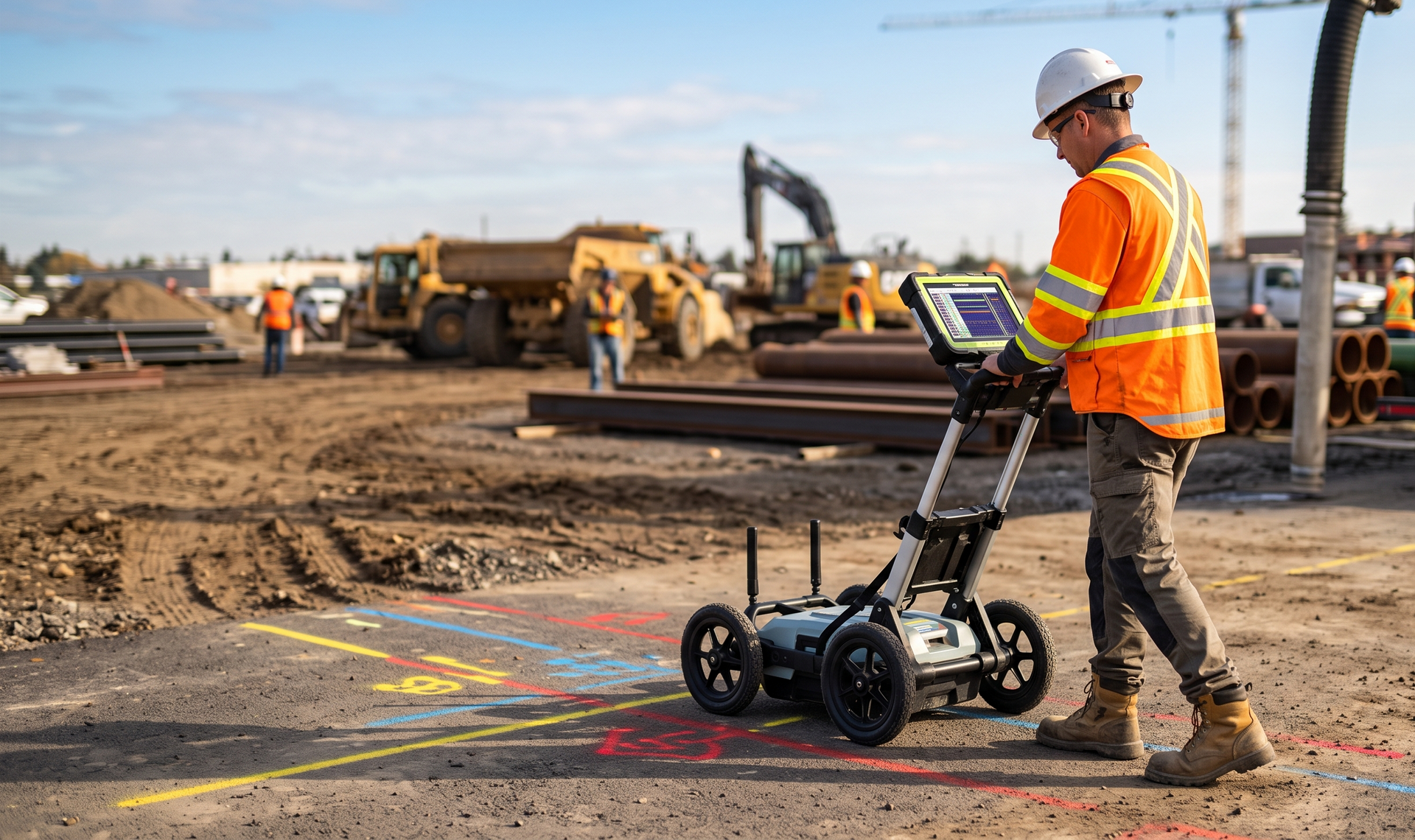
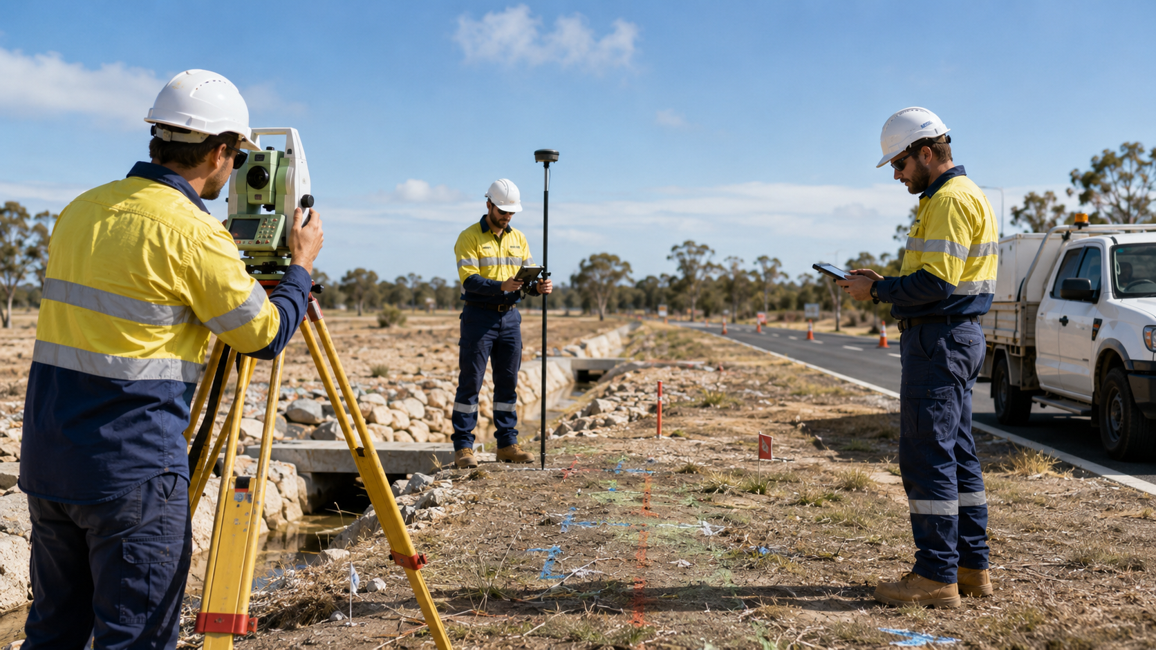
WA Mapping travels to the Pilbara to support mining, civil, infrastructure, and industrial projects requiring experienced underground locating
capability. We work with project teams to plan regional mobilisation, site access, locating methods, and verification requirements before fieldwork begins.
Thank you for contacting us. We will get back to you as soon as possible.
Oops, there was an error sending your message. Please try again later.
Regional locating for demanding project environments
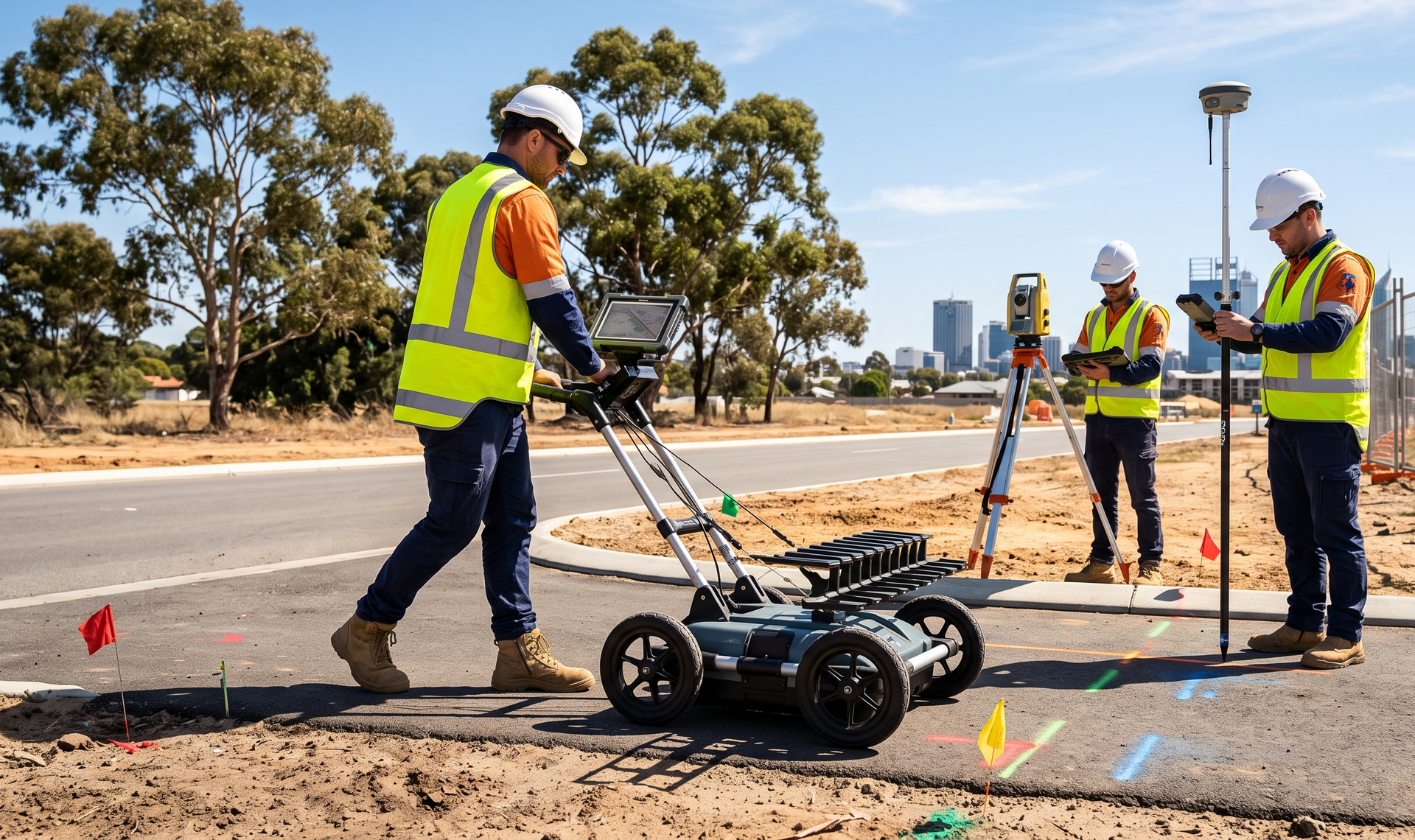
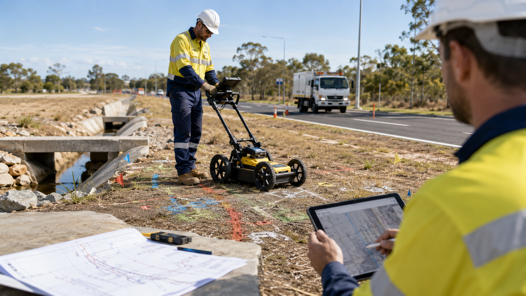
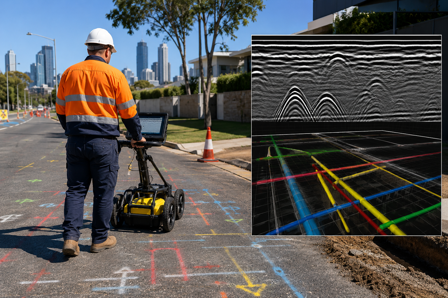
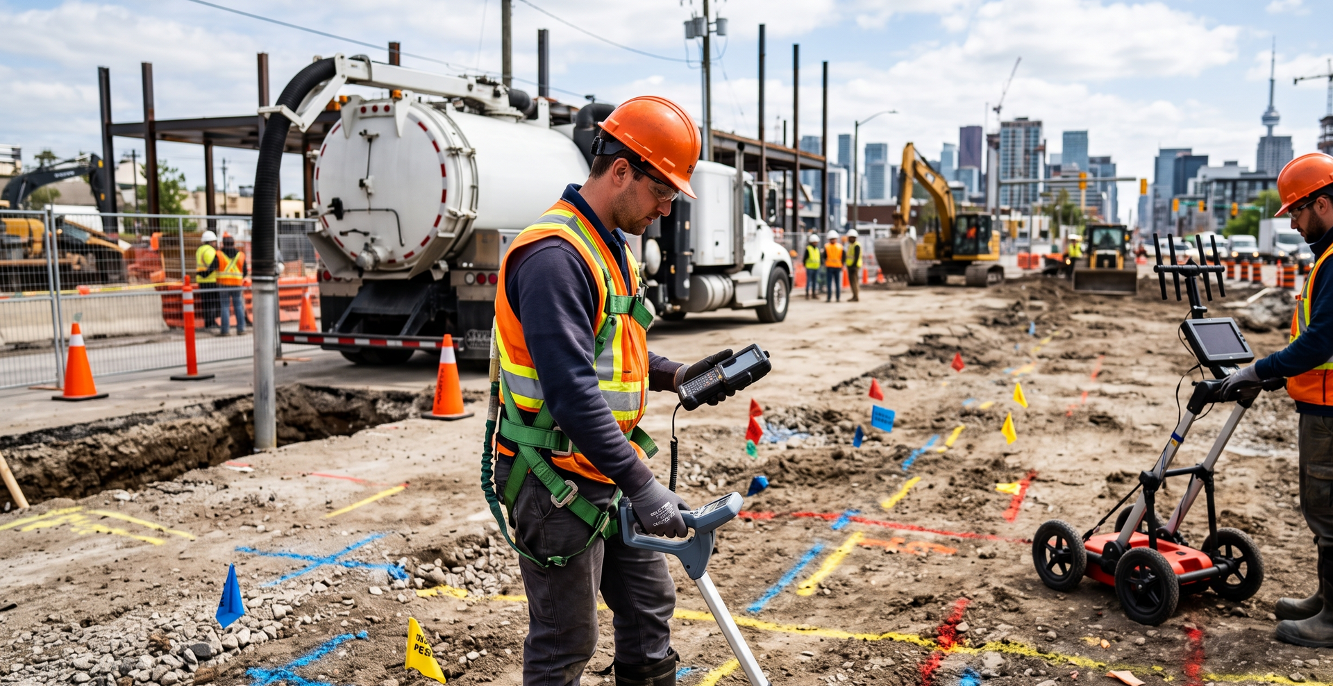
Pilbara projects can involve remote access, complex site controls, and buried infrastructure across active operational areas. WA Mapping provides experienced locating personnel and can combine utility detection, GPR scanning, and verification support within a clearly defined regional scope.