Underground utility locating in Kalgoorlie and the Goldfields
WA Mapping supports mining, civil, industrial, and infrastructure
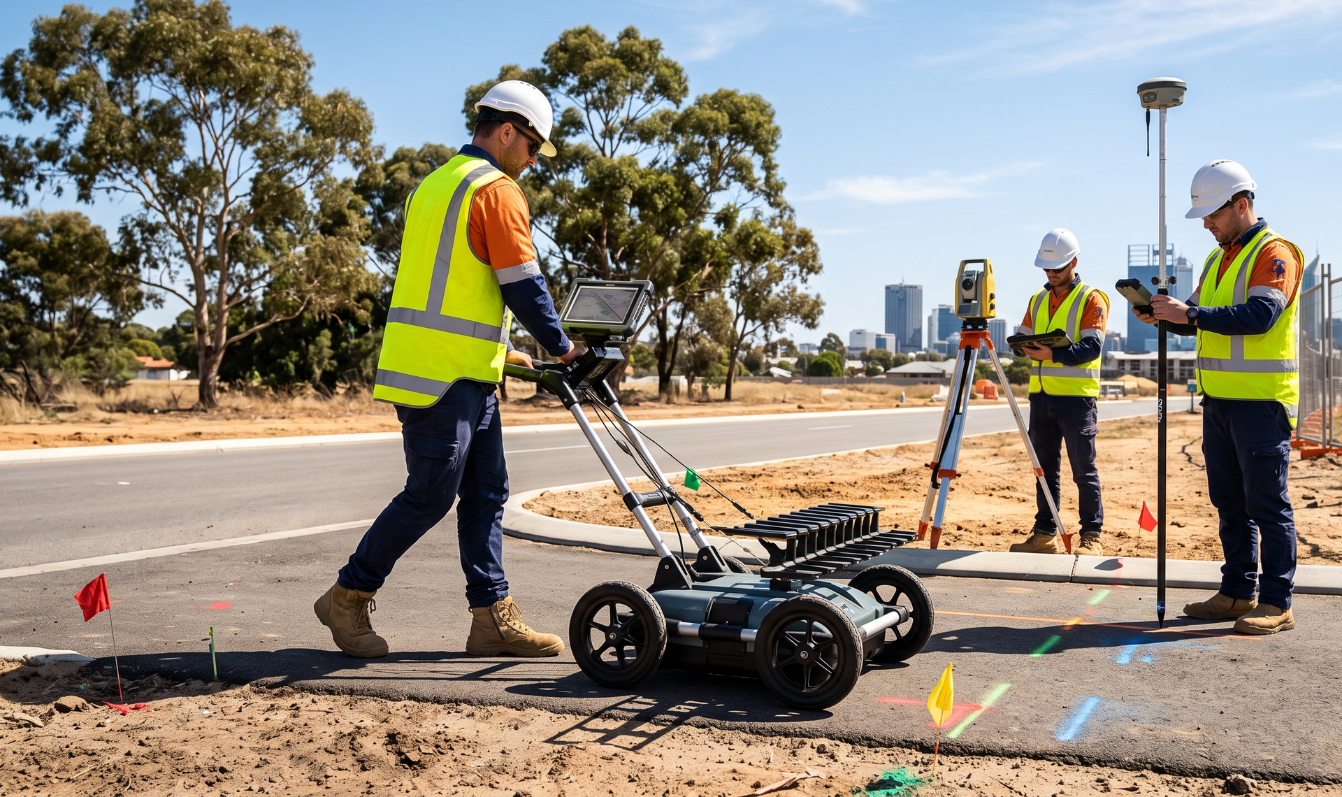
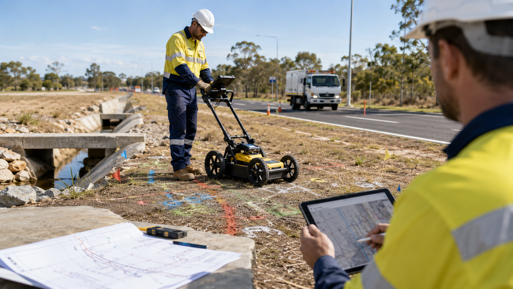
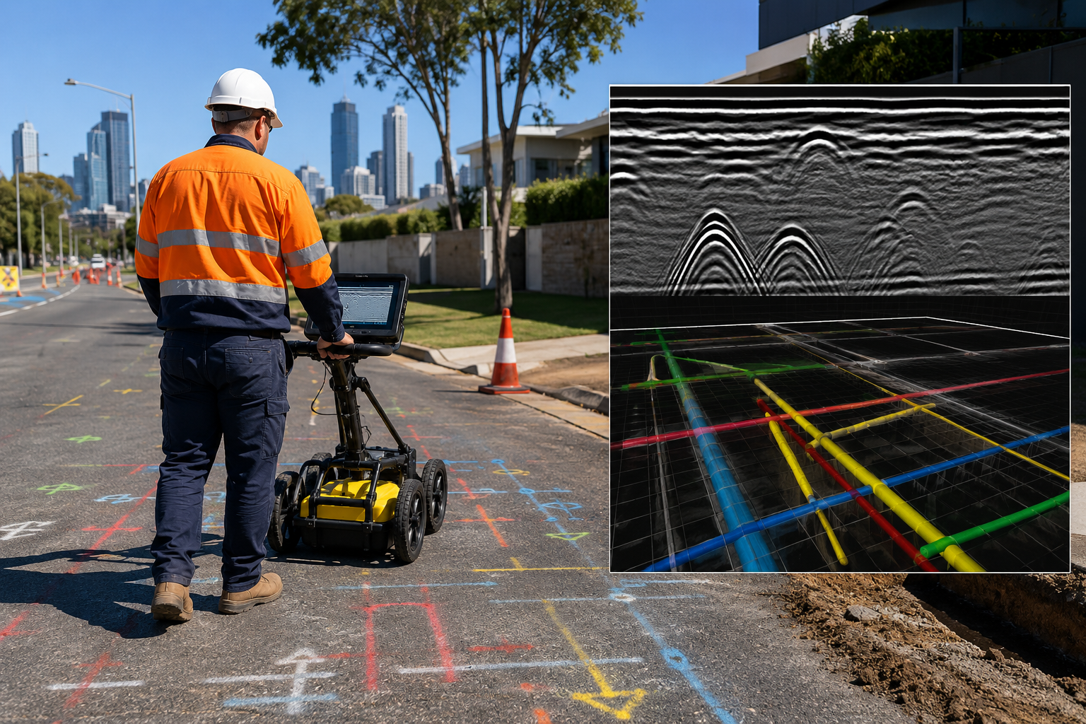
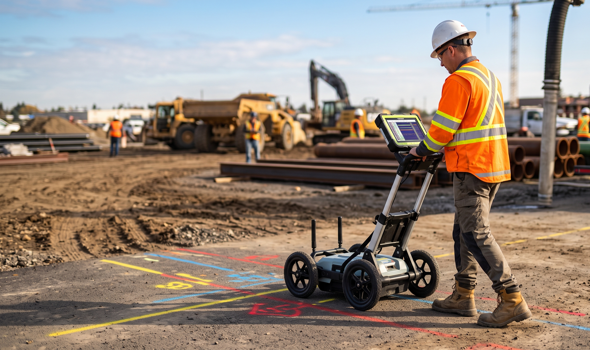
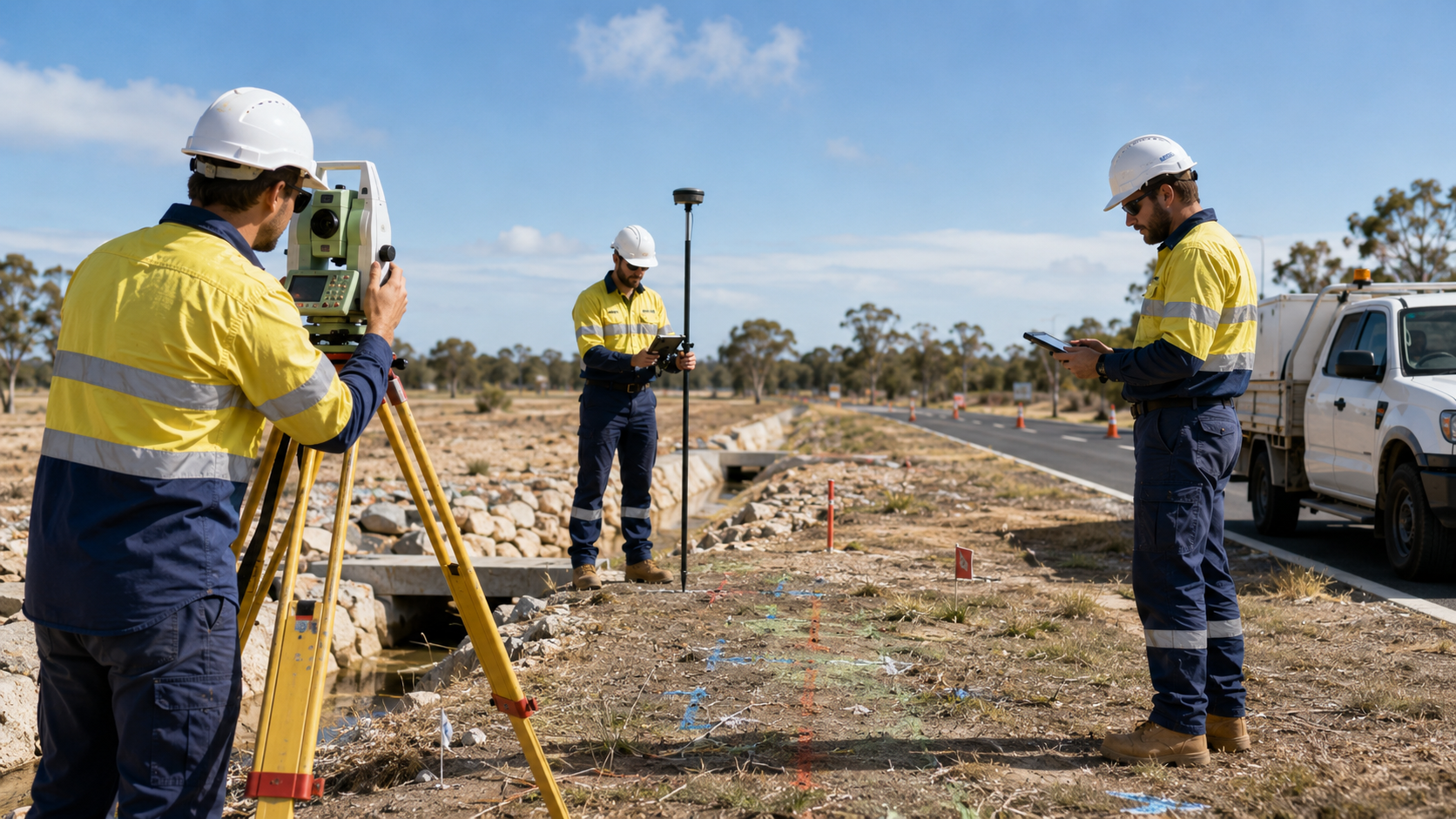
projects in Kalgoorlie and across the Goldfields. Our experienced locators can travel to regional sites to investigate buried services and subsurface features before excavation, upgrades, maintenance, or new construction work begins.
Thank you for contacting us. We will get back to you as soon as possible.
Oops, there was an error sending your message. Please try again later.
Experienced regional locating for the Goldfields
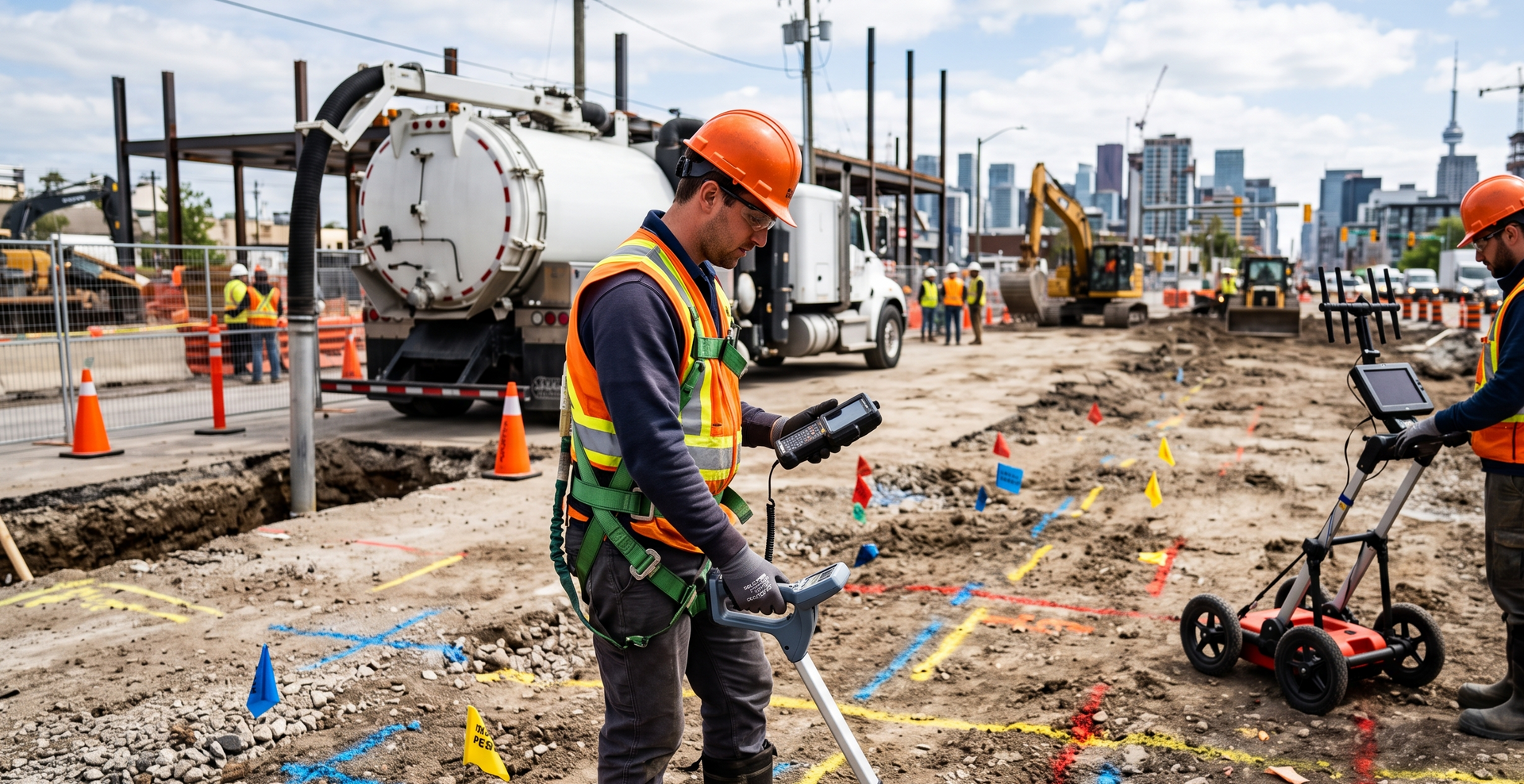
Projects in the Goldfields often require careful mobilisation and coordination with operational teams, contractors, and consultants. WA Mapping plans the locating approach around the site conditions, available records, required coverage, and any additional scanning or verification needed.