How underground service locating supports mining projects
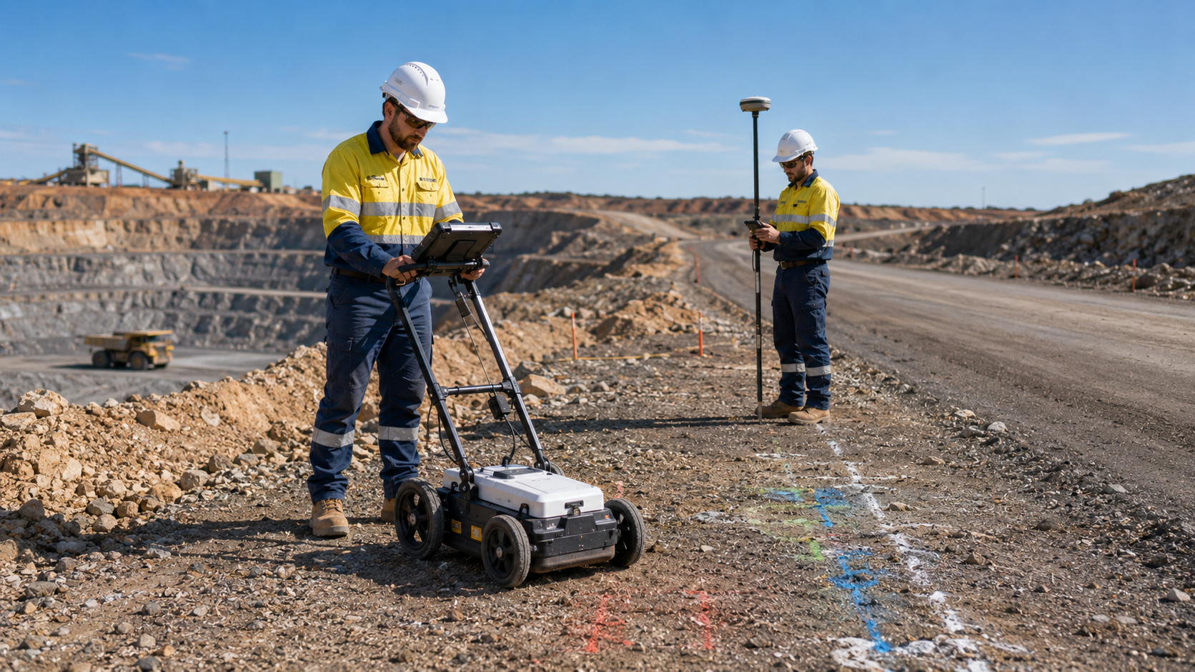
Mining projects depend on reliable information about what lies beneath active work areas, haul roads, processing facilities, camps, and supporting infrastructure. Buried power, communications, water, fuel, drainage, and other services can affect excavation planning, maintenance work, shutdown activities, and future development.
Underground service locating helps mining teams understand existing site conditions before ground disturbance begins. It can reduce uncertainty, support safer planning, and give engineers, supervisors, and contractors better information when coordinating work across complex sites.
Why mining sites require careful underground service locating
Mine sites often contain a combination of permanent infrastructure, temporary services, legacy installations, and equipment added over different stages of operation. Records may be available, but they may not always reflect every site change or the exact position of buried assets.
Underground service locating allows field conditions to be compared with existing drawings and site knowledge. This can help identify potential conflicts before excavation, trenching, drilling, roadworks, or construction begins.
WA Mapping provides mining service locating for operational sites, project teams, contractors, and infrastructure works across Western Australia.
Common mining areas where locating may be required
Locating work may be needed across many parts of a mining operation, including:
- haul roads and access tracks
- processing and workshop areas
- camp and accommodation infrastructure
- power, water, and communications corridors
- planned excavation or trenching zones
- new building and facility footprints
- shutdown and maintenance work areas
- civil upgrades and drainage projects
The scope should be tailored to the proposed work and the risks associated with each area. A focused investigation helps ensure the right sections of the site are assessed before work proceeds.
How ground penetrating radar can assist
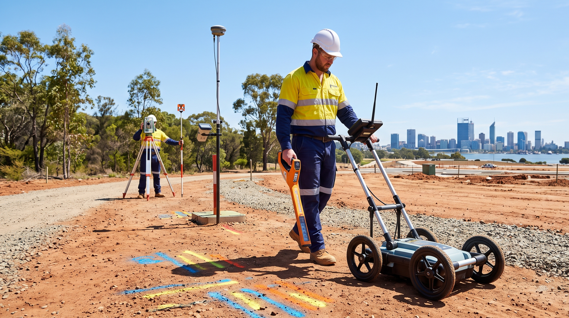
Ground penetrating radar can support subsurface investigation where ground and surface conditions are suitable. It may help identify buried services, changes in materials, voids, or other features that are not visible from the surface.
GPR should be selected and interpreted within the context of the site. Soil conditions, rock content, surface access, service materials, and the depth of potential targets can all influence results.
For suitable sites, ground penetrating radar scanning can form part of a broader underground locating approach.
Why existing drawings should be supported by field investigation
Site plans, as-built drawings, and asset records remain important sources of information, but mining environments can change frequently. Temporary services may be installed, relocated, or removed, while older records may not capture every modification.
Field locating provides current site information that can be reviewed alongside available records. This helps project teams identify discrepancies, clarify uncertain areas, and decide whether further verification is required.
For broader site investigations, underground utility and service locating can support projects outside dedicated mining work areas as well.
Locating before excavation and civil works
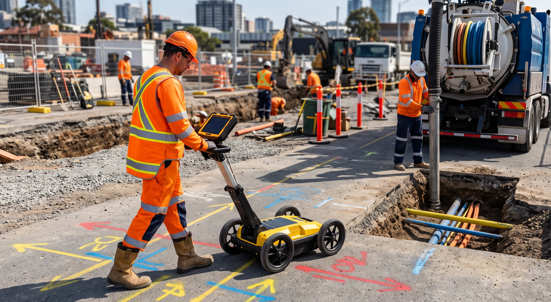
Ground disturbance is often one of the highest-risk stages of mining and civil work. Excavation, trenching, grading, and road construction can all interact with buried assets if their position is not clearly understood.
Locating before work begins can help teams plan excavation zones, adjust alignments, stage activities, and identify areas that need more detailed verification. This information should be incorporated into the site’s existing excavation permits, engineering controls, and safety procedures.
Where civil work is the primary focus, WA Mapping also provides civil construction locating for roadworks, drainage, subdivisions, and associated infrastructure projects.
Supporting project design and future mine development
Underground service locating is not limited to immediate excavation work. It can also support planned expansions, new facilities, route design, utility upgrades, and mine infrastructure development.
Identifying underground constraints early gives designers and engineers more opportunity to account for existing services before plans are finalised. This can reduce redesign, avoid unnecessary delays, and improve coordination between field and design teams.
For early project planning, infrastructure design locating can help establish the site information required for design development.
Information to provide before a mining site visit
A clear brief allows the locating work to be planned around the mine’s operational and project requirements. Useful information may include:
- the exact work area and proposed ground disturbance
- available service drawings or asset records
- site induction, escort, and access requirements
- known hazards and operational restrictions
- required deliverables and reporting format
- the project program and relevant shutdown dates
Where possible, project and site representatives should identify the services or conflicts of greatest concern. This helps the locating team prioritise the areas that matter most.
Use locating information as part of the site control process
Underground service locating supports decision-making, but it does not replace the mine’s engineering, permit, survey, or excavation control procedures. Findings should be reviewed with existing site documentation and incorporated into the project’s formal risk management processes.
When locating information is gathered early and communicated clearly, it can strengthen planning across maintenance, construction, shutdown, and expansion activities.
Plan mining work with better site information
Mining service locating helps teams identify buried infrastructure before work reaches the ground disturbance stage. It provides practical field information that can support safer planning and more effective project coordination.
Explore WA Mapping's mining service locating services for projects across Western Australia.
To discuss site access, proposed works, and the required deliverables, contact our team with the key project details.