Why utility locating matters before infrastructure design
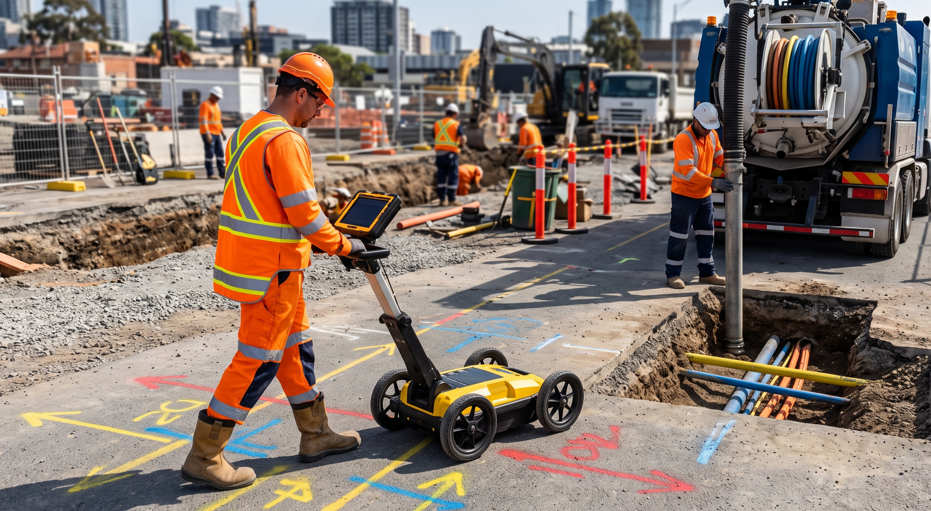
Infrastructure design decisions are often made long before excavation begins, but those decisions still depend on what is already beneath the site. Existing power, water, gas, communications, drainage, and other underground assets can influence alignments, levels, access points, construction methods, and project staging.
Utility locating during the design stage helps engineers, consultants, councils, and project teams develop plans around real site conditions rather than relying only on available records. This guide explains what pre-design locating involves, why it matters, and how to prepare for a useful site investigation.
What is infrastructure design locating?
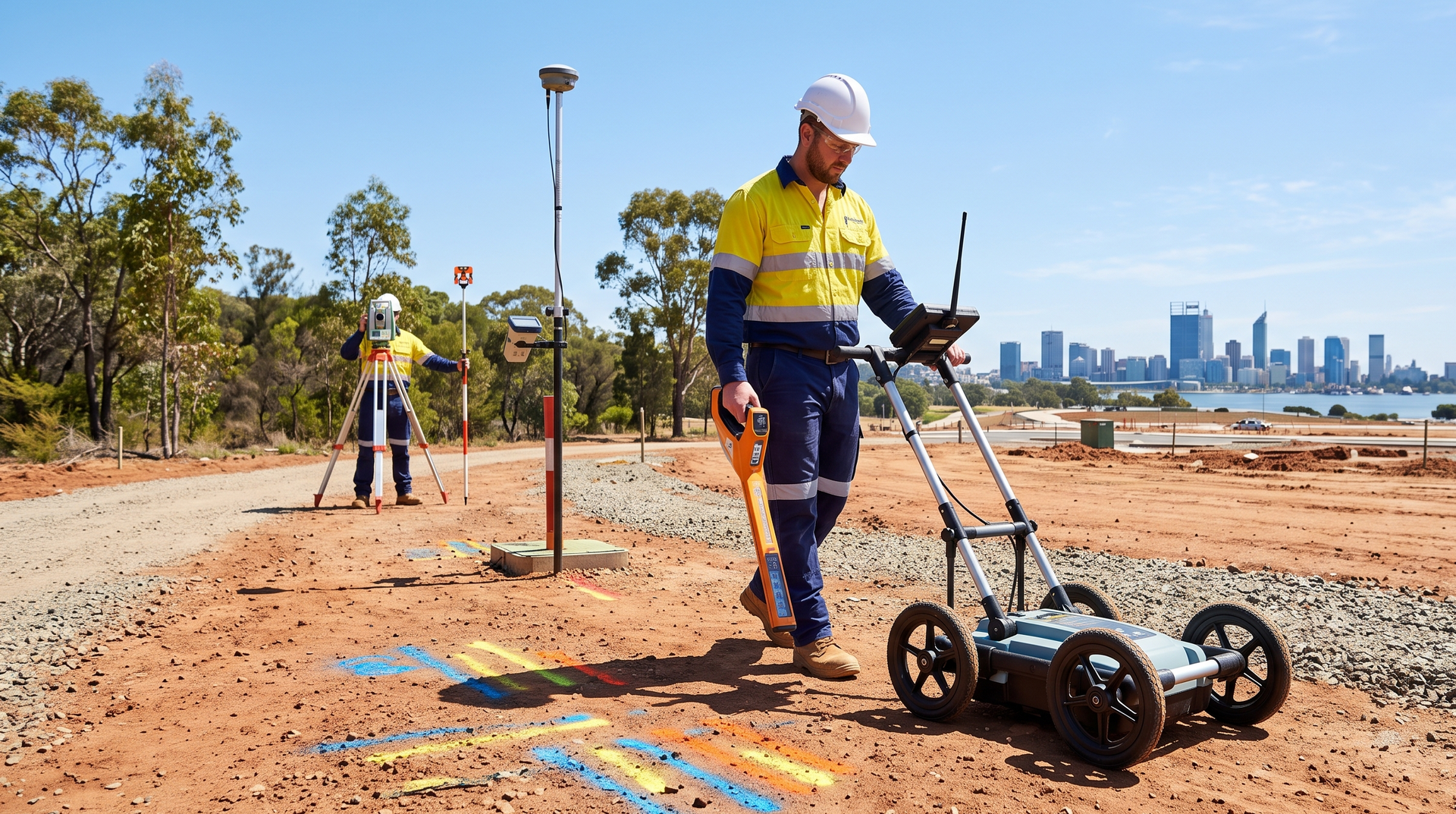
Infrastructure design locating is the process of identifying and documenting underground services before detailed design work is finalised. It can support road upgrades, drainage projects, subdivisions, utility renewals, public infrastructure, and other civil works where existing services may affect the proposed design.
The work may involve reviewing available service information, locating assets in the field, marking their position on the ground, and collecting site data that can be incorporated into project plans. The required level of detail depends on the project, the design stage, and the risks associated with the proposed works.
WA Mapping provides infrastructure design locating for councils, shires, utility providers, civil design consultants, and project teams across Western Australia.
Why plans and records may not be enough
Existing plans are an important starting point, but they may not always show the exact position, depth, alignment, or current status of every underground service. Site changes, older installations, undocumented works, and differences between design drawings and completed construction can all affect the reliability of available information.
Field investigation helps the design team compare records with actual site conditions. This can identify potential conflicts early enough for the project team to consider design changes, additional investigation, or alternative construction methods before work reaches site.
For broader site investigations, underground utility and service locating can help establish the location of buried infrastructure across the proposed work area.
How GPR supports pre-design investigations
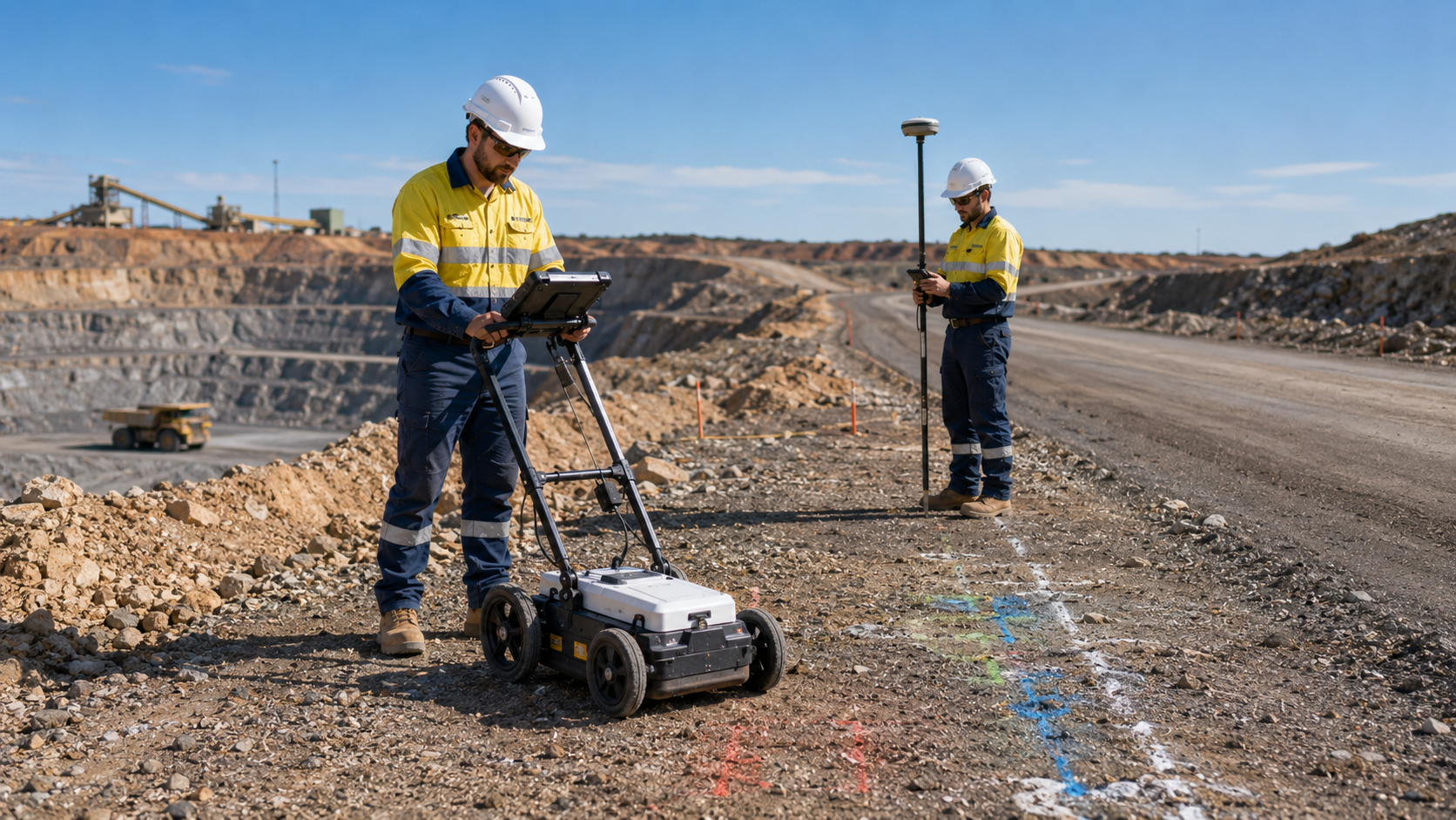
Ground penetrating radar can be used to investigate subsurface features where conditions are suitable. It may help identify service alignments, changes in materials, voids, or other features that are not visible from the surface.
GPR is often most useful when it forms part of a broader locating approach. Site access, ground conditions, surface materials, service type, and the information available before the investigation can all influence the method used.
Learn more about ground penetrating radar scanning and how it can support underground service investigations.
When should locating happen in the design process?
Locating is generally most useful when it occurs early enough for the findings to influence the design. If investigation is left until construction planning or mobilisation, the project team may have fewer practical options for responding to conflicts.
Early locating can support concept design, route selection, preliminary layouts, detailed design, and constructability reviews. Additional locating may still be required later if the project scope changes, the work area expands, or more detailed verification is needed.
For projects that also require field data capture, set-out support, or coordinated survey information, subcontracted surveying services can be integrated with the locating work.
Information to provide before the site visit
A clear project brief helps the locating team focus on the areas that matter most to the design. Useful information may include:
- the proposed work area and design corridor
- current drawings, plans, or service records
- the intended construction or infrastructure works
- known access restrictions or site hazards
- the required deliverables and preferred data format
- the project program and design milestones
It is also helpful to explain which assets or design conflicts are the highest priority. This allows the investigation to be planned around the decisions the project team needs to make.
What should the design team do with the findings?
Locating information should be reviewed alongside the project drawings, available records, survey data, and design assumptions. The findings may help the team adjust alignments, identify areas requiring further verification, plan protection measures, or refine the construction methodology.
Utility locating does not replace project-specific engineering, survey, or excavation controls. It provides practical site information that can strengthen those processes and help the project team make better-informed decisions.
Plan around underground services earlier
Pre-design locating gives infrastructure teams more time to understand underground constraints and respond before construction begins. The earlier accurate site information is available, the easier it is to incorporate it into design development and project planning.
Explore WA Mapping's infrastructure design locating services for civil and public infrastructure projects across Western Australia.
To discuss the proposed work area, available plans, and required deliverables, contact our team and provide the key project details.