When subcontracted surveying support benefits civil projects
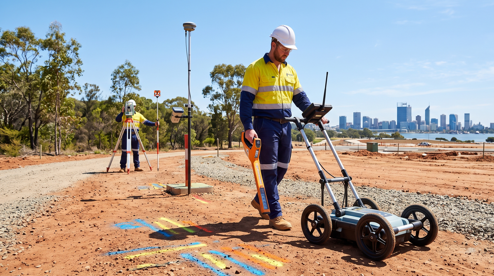
Civil projects often need accurate field information at specific stages, but not every contractor, consultant, or project team requires a permanent in-house surveying resource. Subcontracted surveying support can provide additional field capacity when workloads increase, specialist equipment is needed, or a project requires coordinated data capture alongside underground service locating.
The right arrangement can help project teams maintain progress, improve communication between field and design personnel, and obtain the site information needed for planning and delivery. This article explains when subcontracted surveying support may be useful and what to consider before engaging a field team.
What is subcontracted surveying support?
Subcontracted surveying support involves engaging an external field team to complete defined surveying or data capture tasks as part of a broader project. The work is usually delivered under an agreed scope, with the subcontractor supporting the project’s existing surveyors, engineers, designers, or construction personnel.
Depending on the project, the work may include site data capture, GPS observations, feature pickups, utility-related field information, or coordinated surveying assistance. The required deliverables should be agreed before mobilisation so the collected information can be used by the project team.
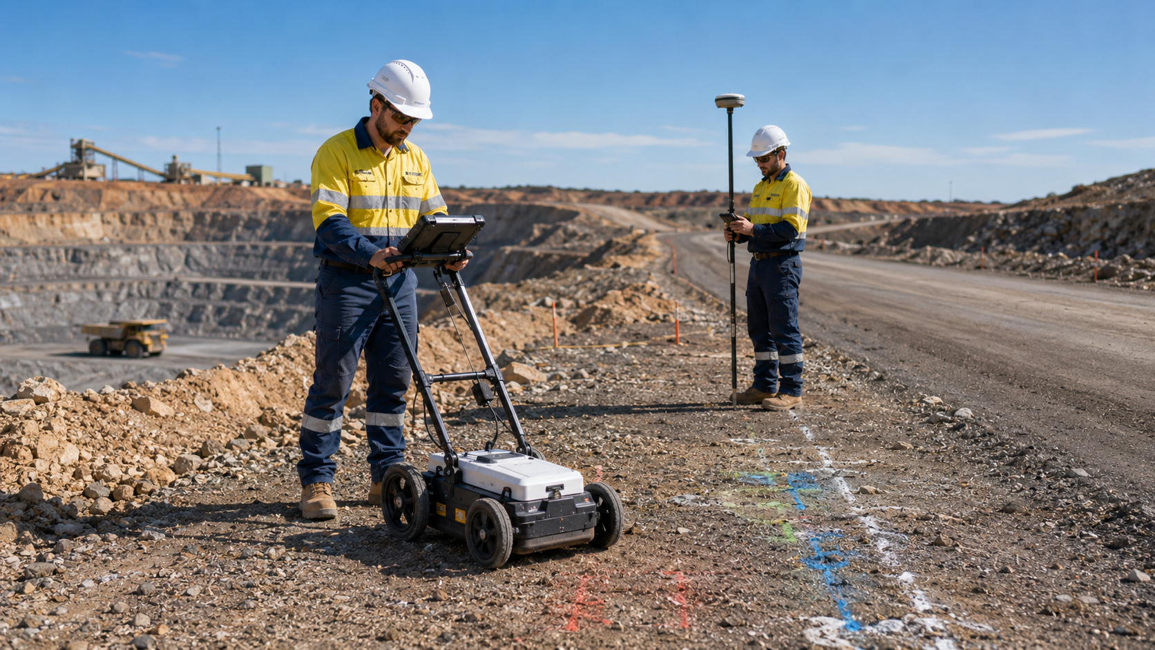
WA Mapping provides subcontracted surveying services for civil, infrastructure, mining, and utility-related projects across Western Australia.
When additional surveying capacity can help
Project teams may require additional field support when:
- internal survey resources are committed to other projects
- the project program requires several work areas to be covered
- field data is needed within a limited construction window
- remote or regional work requires a mobile subcontractor
- utility locating and survey information need to be coordinated
- the scope is too limited to justify a permanent resource
- design teams need current site information before progressing
Subcontracting can be particularly useful when the requirement is clearly defined and the project team needs reliable support without expanding its permanent workforce.
Supporting civil design and construction teams
Civil designers and construction teams rely on consistent site information. When field data is delayed or incomplete, decisions may be based on assumptions that later require revision.
Surveying support can help capture relevant site features, align field findings with design requirements, and provide information for project coordination. It is most effective when the field team understands why the data is required and how it will be used.
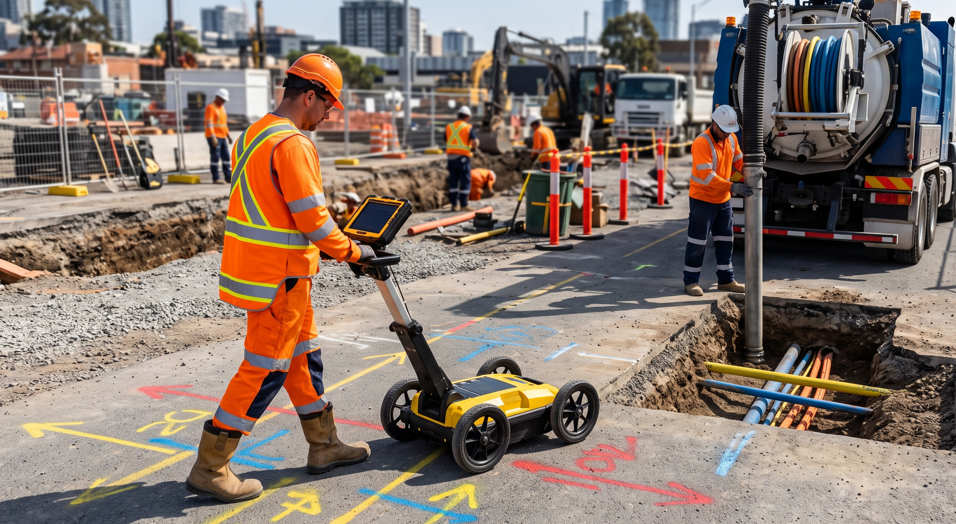
For projects where buried infrastructure may influence the proposed works, infrastructure design locating can be completed alongside surveying support.
Combining surveying with underground service locating
Underground service locating identifies buried assets and other subsurface features, while surveying can help capture and organise relevant field positions. Coordinating the two activities can reduce repeated site visits and help the project team receive more consistent information.
This approach may be useful for road upgrades, drainage works, utility projects, subdivisions, and other civil developments where existing underground services must be considered during design or construction.
WA Mapping's underground utility and service locating can support field investigations where buried infrastructure forms part of the project scope.
How GPR findings can be incorporated into field data
Ground penetrating radar may be used to investigate subsurface features where site conditions are suitable. When relevant findings are marked or captured in a coordinated way, they can be reviewed alongside other survey and design information.
The usefulness of GPR depends on ground conditions, target materials, surface access, depth, and the wider locating method. It should not be treated as a standalone answer for every site.
Learn more about ground penetrating radar scanning and its role in underground service investigations.
What to include in the subcontract scope
A clear scope helps prevent gaps, duplicated effort, and misunderstandings about deliverables. Before engaging a subcontracted surveying team, confirm:
- the work area and project boundaries
- the features or assets to be captured
- the required coordinate system or project controls
- the expected accuracy and level of detail
- the required files, plans, or data format
- site access, induction, and safety requirements
- who will review and approve the field information
- the program, hold points, and delivery dates
The project team should also provide relevant drawings, background information, and contact details for the people responsible for field coordination.
Why communication matters between field and design teams
Accurate fieldwork is only valuable when the project team understands what was captured, how it was collected, and whether any limitations were identified. Clear communication helps designers and engineers interpret the information correctly and decide whether further investigation is required.
Field personnel should be able to raise access issues, unexpected site conditions, or areas that fall outside the agreed scope. These details can affect the reliability and completeness of the final deliverables.
For active construction projects, civil construction locating can also help project teams assess underground constraints before excavation or roadworks begin.
Benefits of using an experienced subcontract field team
An experienced subcontract team can integrate more easily with existing project systems and site requirements. Practical benefits may include:
- additional capacity during peak workloads
- reduced delays while waiting for field resources
- coordinated locating and surveying support
- clearer communication with engineers and contractors
- access to relevant field equipment
- support for metropolitan and regional projects
The value comes from matching the field capability to the project requirement rather than adding resources without a clearly defined purpose.
Plan the fieldwork around the required decision
Before work begins, identify the decision the field information needs to support. The project may need data for concept design, detailed design, construction planning, verification, or future asset records. Each purpose may require a different scope and level of detail.
Starting with the intended outcome makes it easier to determine the work area, field methods, deliverables, and internal review process.
Add flexible field support to your project
Subcontracted surveying support can strengthen project delivery when teams need additional capacity, coordinated utility information, or current site data. A well-defined scope and clear communication help ensure the fieldwork provides practical value.
Explore WA Mapping's subcontracted surveying services for civil, infrastructure, mining, and utility projects across Western Australia.
To discuss the work area, project controls, and required deliverables, contact our team with the key project information.